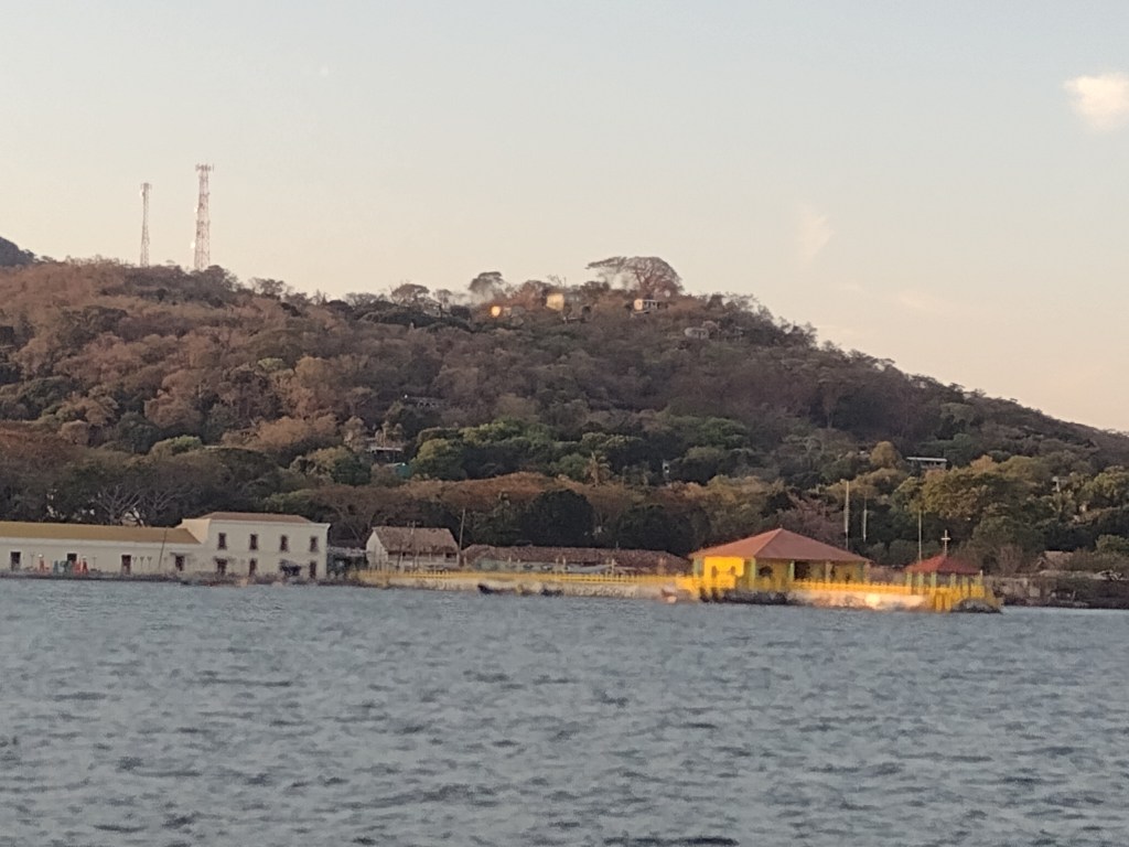
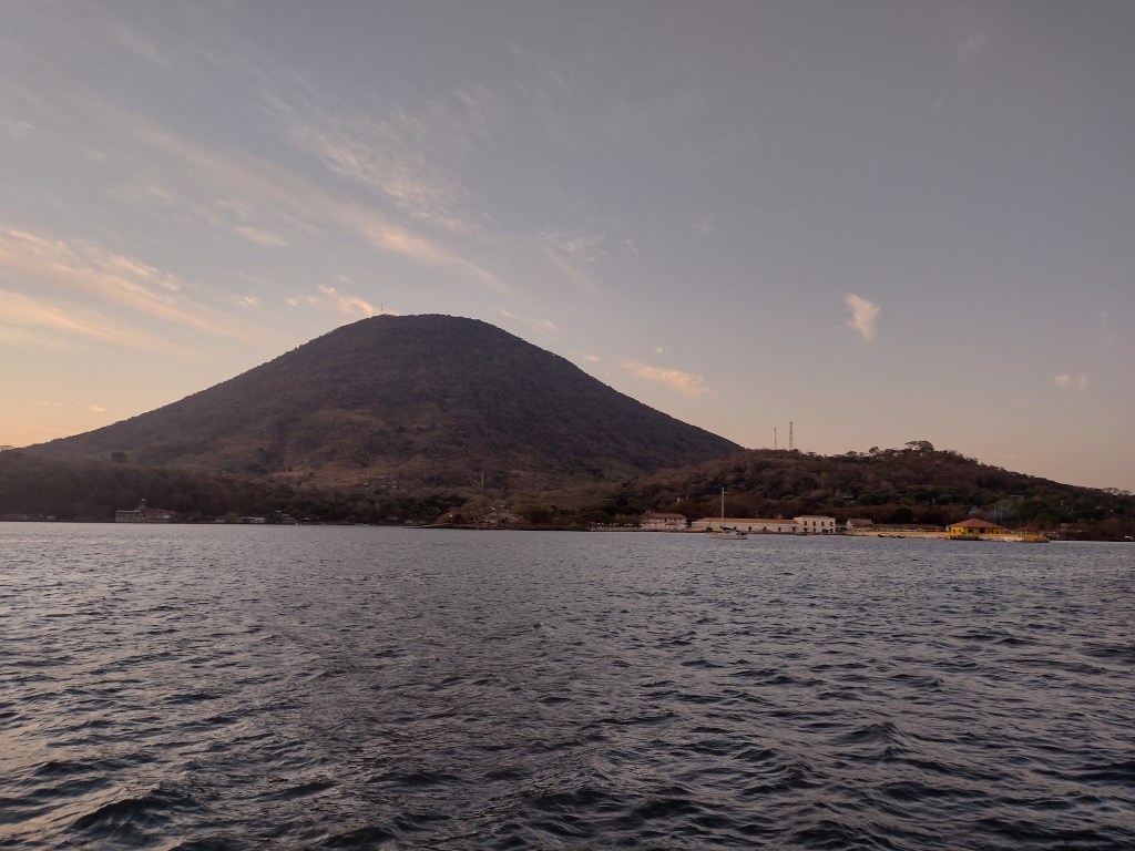
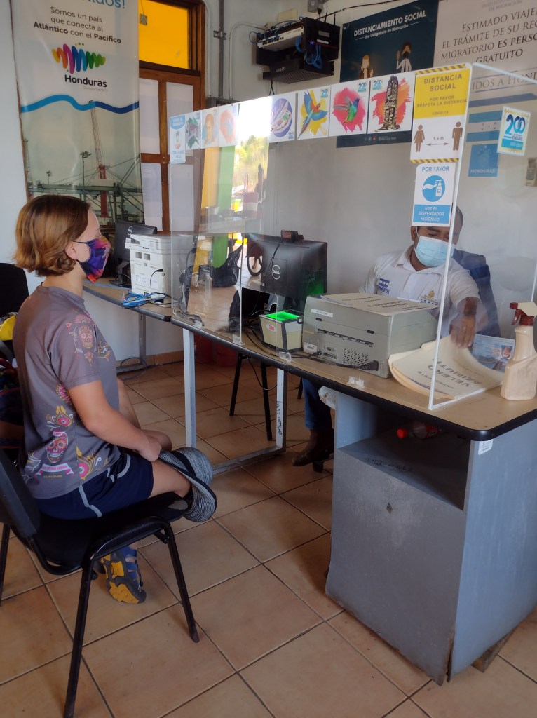
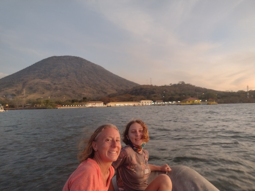
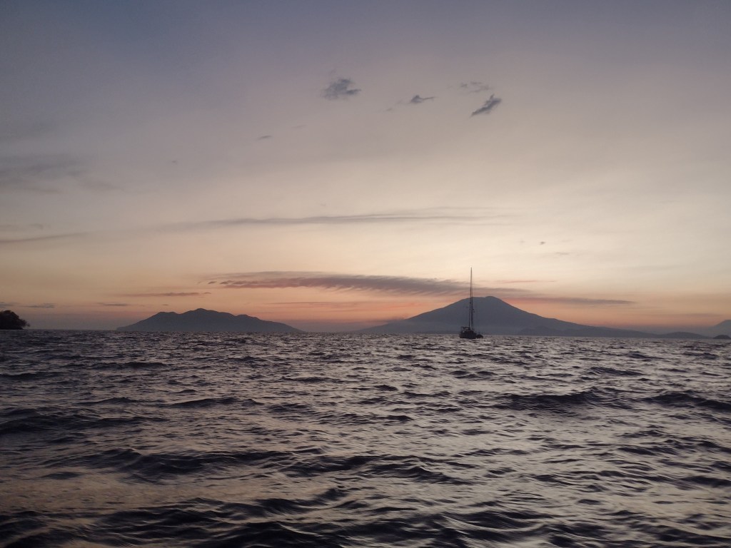
We left Guatemala in the afternoon and headed south to the Bay of Fonseca. This bay is bordered by three countries. El Salvador, Honduras and Nicaragua all have shorelines in the bay. We wanted to visit El Salvador but we were simply running out of time. The check-in fees for El Salvador were not too high. However but spending a few hundred dollars in fees to visit a country for only a couple of days did not make sense on the budget. We did learn that Honduras did not have any check-in fees so we headed deep into the bay of Fonseca. The bay was reminiscent of sailing in British Columbia. There were heavily wooded islands and mountains all around. It was a little tricky the deeper we sailed into the bay as it quickly became shallow even far from shore. We made it around the various islands and through the narrow deep water channels and anchored off the small Honduran town of Amapala. Amapala is a tiny town of about 300 people. It is the only town on an island that is the remains of an ancient volcano. We planned to hike to the top of the volcano but the weather just did not cooperate. We checked into the country and spent two days there still recuperating from our Guatemalan adventure. We walked through the town, visited their sparse little grocery store and had a great dinner of pupusas. The next day we set sail on what would be our longest passage yet.
After leaving the Bay of Fonseca we turned left (southeast) and headed down the coast of Nicaragua. We had been told that Nicaragua was a place that we just had to stop and visit. The food, the land, the beaches and the people were all amazing. We were excited to visit and even had reservations at one of the marinas. However, talking to people we met in Honduras, we learned that Nicaragua required us to have covid tests prior to our arrival. It was possible to get the tests in Honduras but it required a ferry to the mainland, a 3 hour bus ride into the capital city, a night at a hotel, getting the results the next day and then it all again to get back to the boat. That did not sound worth it to us so we decided to skip Nicaragua. The problem that arose for us was that we planned to top off our fuel tanks in Nicaragua and now we had a 770 mile passage to make with only a little over half a tank of fuel. I guess it is a good thing Samadhi has sails.
At the southern border between Nicaragua and Costa Rica is an area notorious for high winds and big seas. It is called the Gulf de Papagayos. The Papagayos winds are similar to those of the Tehuanepec in Mexico. The winds from the Caribbean Sea blow across the narrow land, and rush into the Pacific Ocean. Our timing for crossing this area showed high winds but nothing too bad. And with our fuel situation we preferred to have wind as opposed to having to run the engine. Our weather forecasting models said we would have the wind for about 30 hours. We prepared the boat and the kids for a rough night, full day and one more night of rough sailing. The weather model was spot on. The winds and waves hit us at just about the time that was forecasted and they began to subside within an hour of when was predicted. Everyone did great. Samadhi blasted down the coast. Ashley and I rotated shifts throughout the night, through the day and into the next night hand steering most of the time. The kids each took a few hour longs shifts at the wheel as well. This was no small feat. The winds were constantly in the mid to upper 20’s with gusts into the low 30’s. The waves were big and hitting us from the side in 6-9 second intervals. When one was at the wheel is was hard work keeping Samadhi on coarse. If we turned too much into the wind Samadhi would launch off the big waves and the ride would get even rougher. And if we turned away from the wind too much we would be in the rough conditions even longer. So the person driving really had to concentrate on holding a steady coarse despite the seas and wind making it so difficult.
A little after crossing into Costa Rican waters the wind subsided and we continued on at a more normal and comfortable pace with calm seas. The wind would blow in the afternoon and into the night dying off at about 2am. We would run the engine the rest of the night and into the morning. The wind would pick back up just after noon and we would repeat for the next three days as we sailed off Costa Rica and Panama.
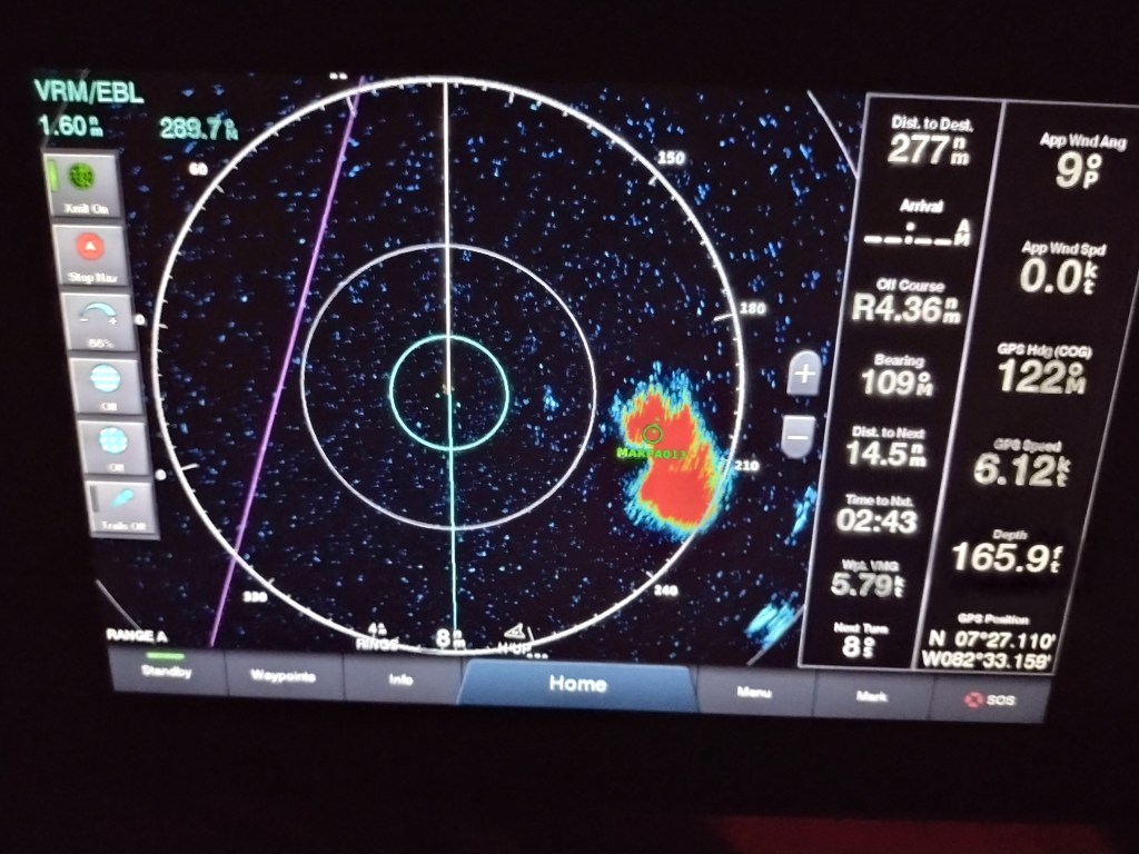
There is a northwest flowing current that flows at about 2-3 knots this time of year off the coast of Costa Rica and Panama. We fought this current all the way. So even when the wind was blowing hard we were not able to realize the speed due to this current. And when we had to run the engine we were using much more fuel due to this current. By time we got to the Gulf of Panama we were running a little low on fuel and Ashley and I were beginning to get a little nervous. We were getting nervous because our weather models were showing that the wind was going to die out for the remaining 125 miles of our passage and we had about 160 miles worth of fuel. That was too close for comfort and not figuring for the current. Not to mention the weather models had been spot on for this entire trip. Luckily the wind never died and we had a fantastic sail all the way to the Las Pearlas Island of Panama.
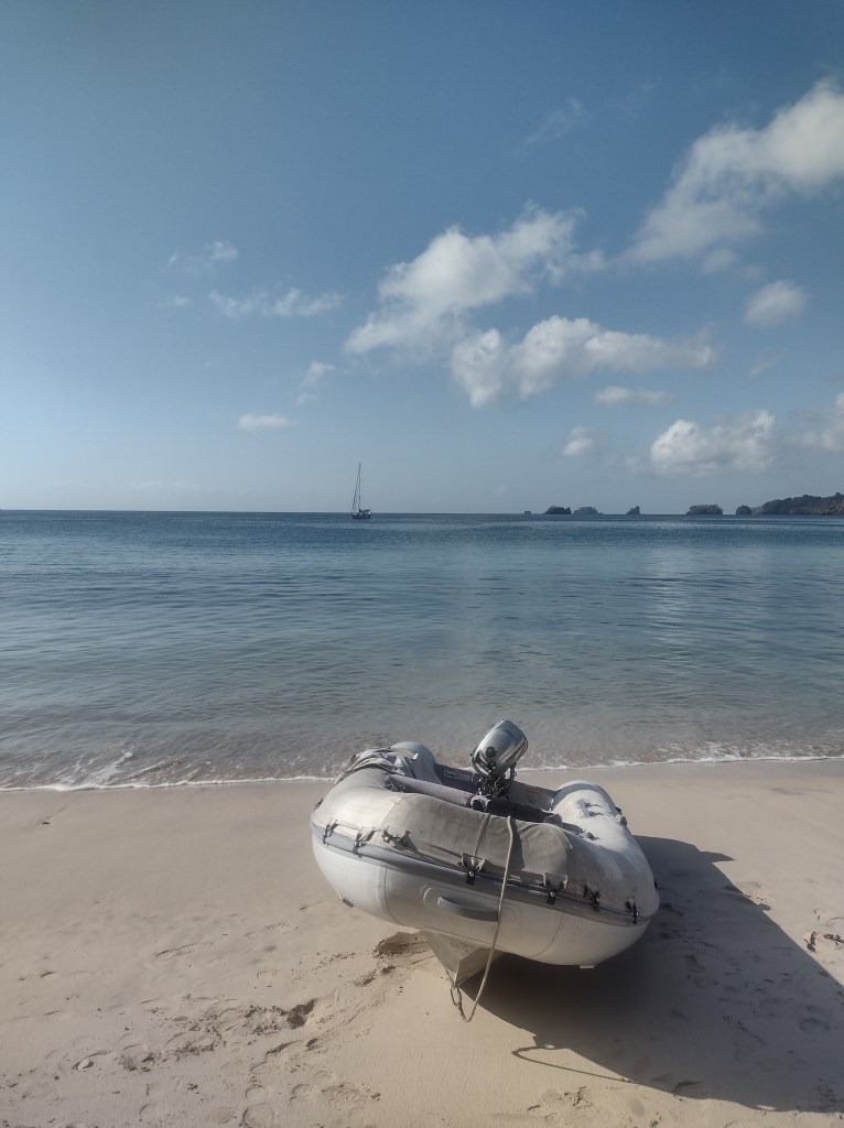
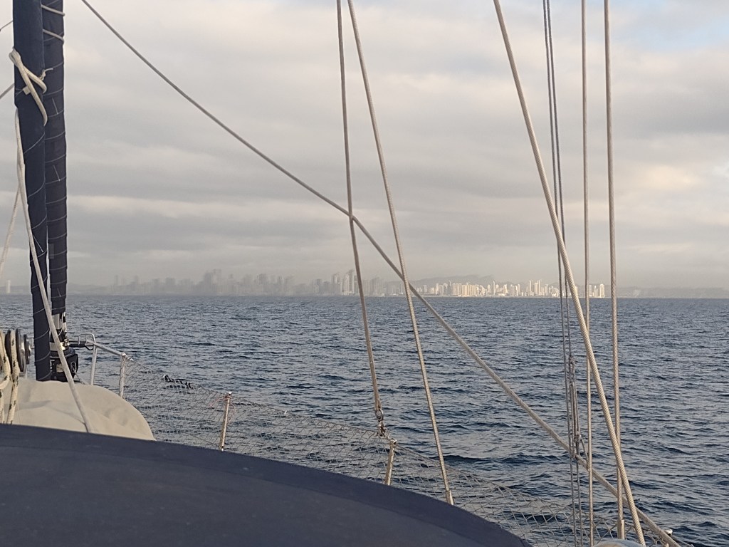
We dropped our anchor in at 3am in a large bay on a secluded island in the Las Pealas. The next day we all went ashore for the first time in 6 days. I think Ranger was the most excited as we all ran along the beautiful white sand beach and played in the crystal clear waters. We spent 3 more days in the Las Pearlas before heading into Panama City to begin the process for transiting the Canal.
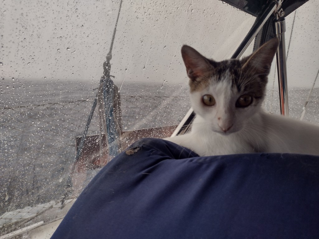
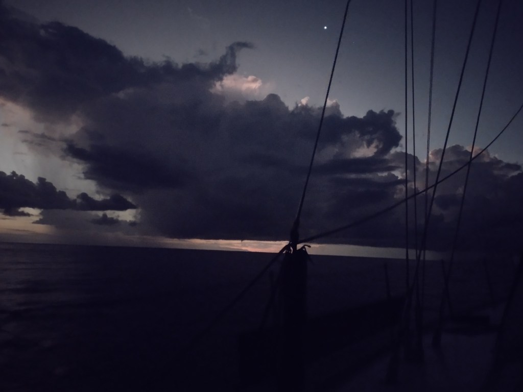
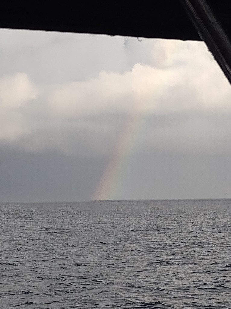
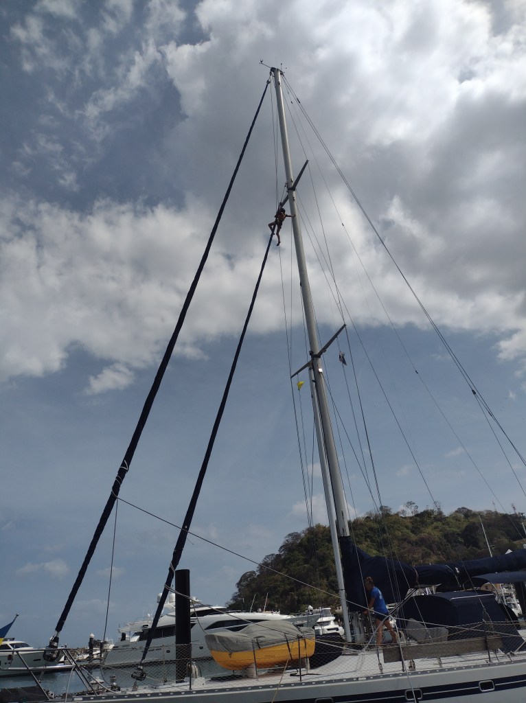
Our longest passage went smooth despite the heavy weather areas. The kids had full school days each day with the exception of the Papagayos winds day. We didn’t break anything while sailing (that is always a win). We would call it uneventful passage. That does not mean there were not breathtaking sunsets and sunrises each day. We had those. It does not mean we did not have dolphins swimming with us. We had them visit each day multiple times. They even swam with the boat nearly all night one night. We even stopped for about 15 minutes and we all swam in the sea off the coast of Costa Rica in 6000ft deep waters that were as clear as I have ever seen. I swam under the boat and could see clearly the entire boat front to back as if it was not even under water. That is over 55 ft of visibility! We did have one rather major event happen on this trip. It was something Ashley and I have been talking about since before we even left on the Murphy Family Adventure. Ashley and I have gone back and forth on this but the kids had been adamantly against it. Not to be undone I have always kept the conversation readily at hand and on this passage I finally found an angle to get the kids on board. I never would have guessed the two new critters on board would be the catalyst that changes the way Ashley and I have lived for over 17 years and Victoria and Alexander have lived their entire lives.